A Tour of Austin’s New MoPac Bike Bridge
writing · · 2 min readA shiny new bicycle and pedestrian bridge opened across Barton Creek in June, right next to the MoPac expressway. I finally got a chance to check it out last Sunday morning.
Here’s a photo tour, starting from the north toward Zilker Park and moving south toward Sunset Valley. You can also check out my corresponding editorial on The Daily Texan.
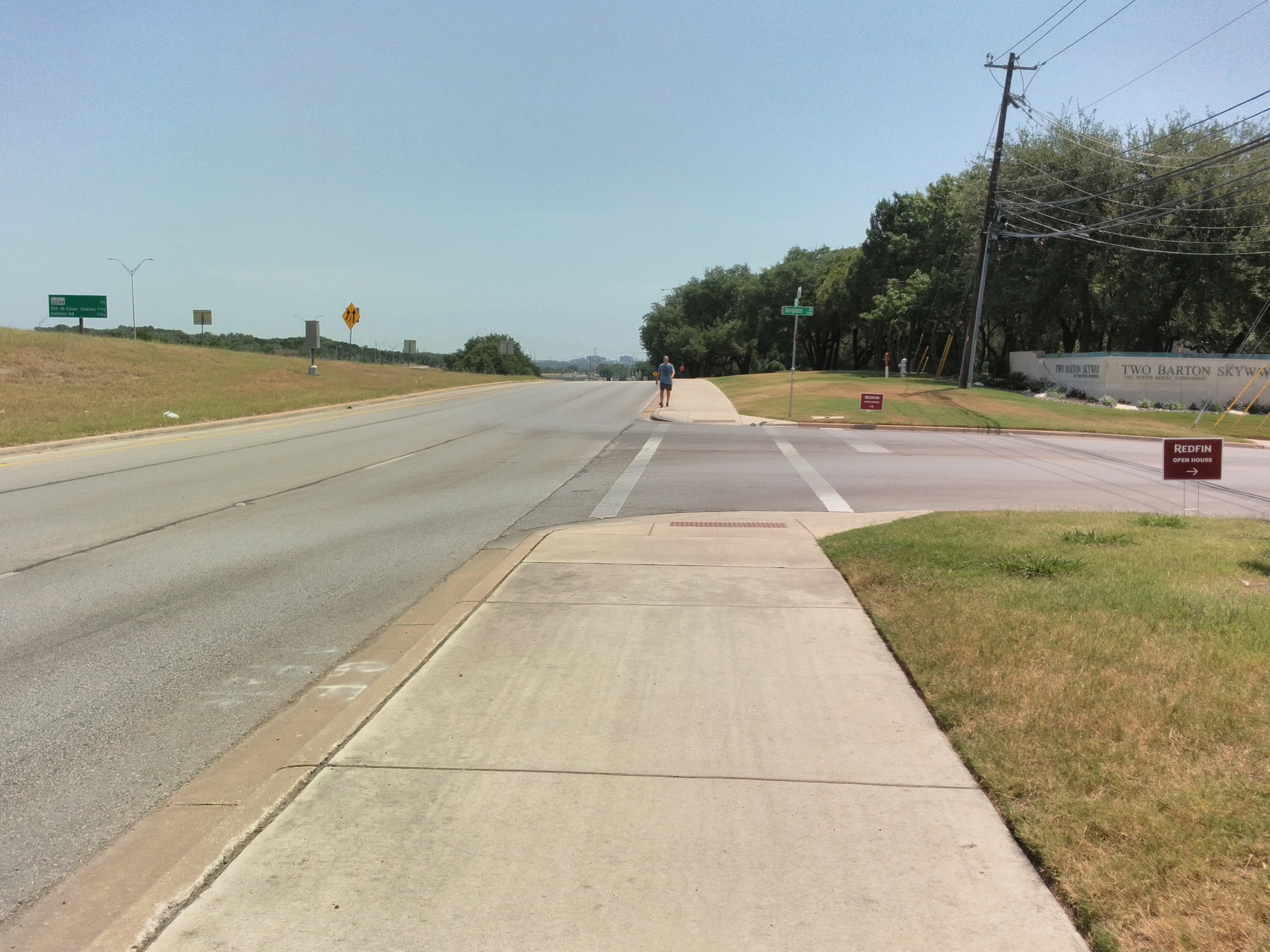
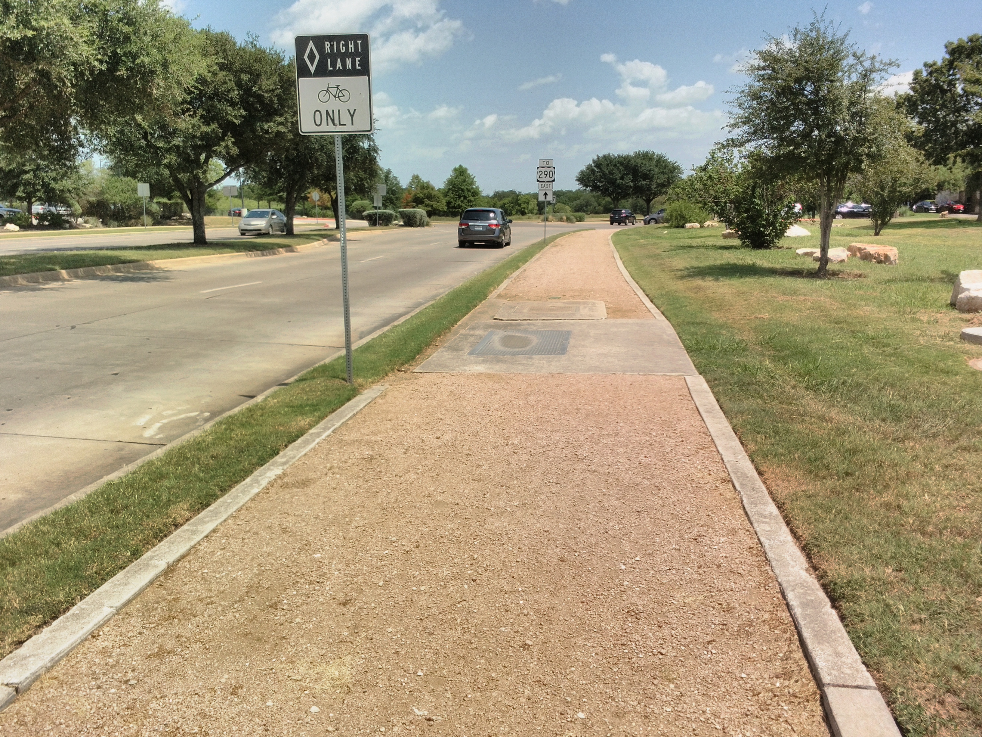
Coming from Zilker Park, the cycling route is on a wide sidewalk (only Austin would call it a “multi-use trail”).
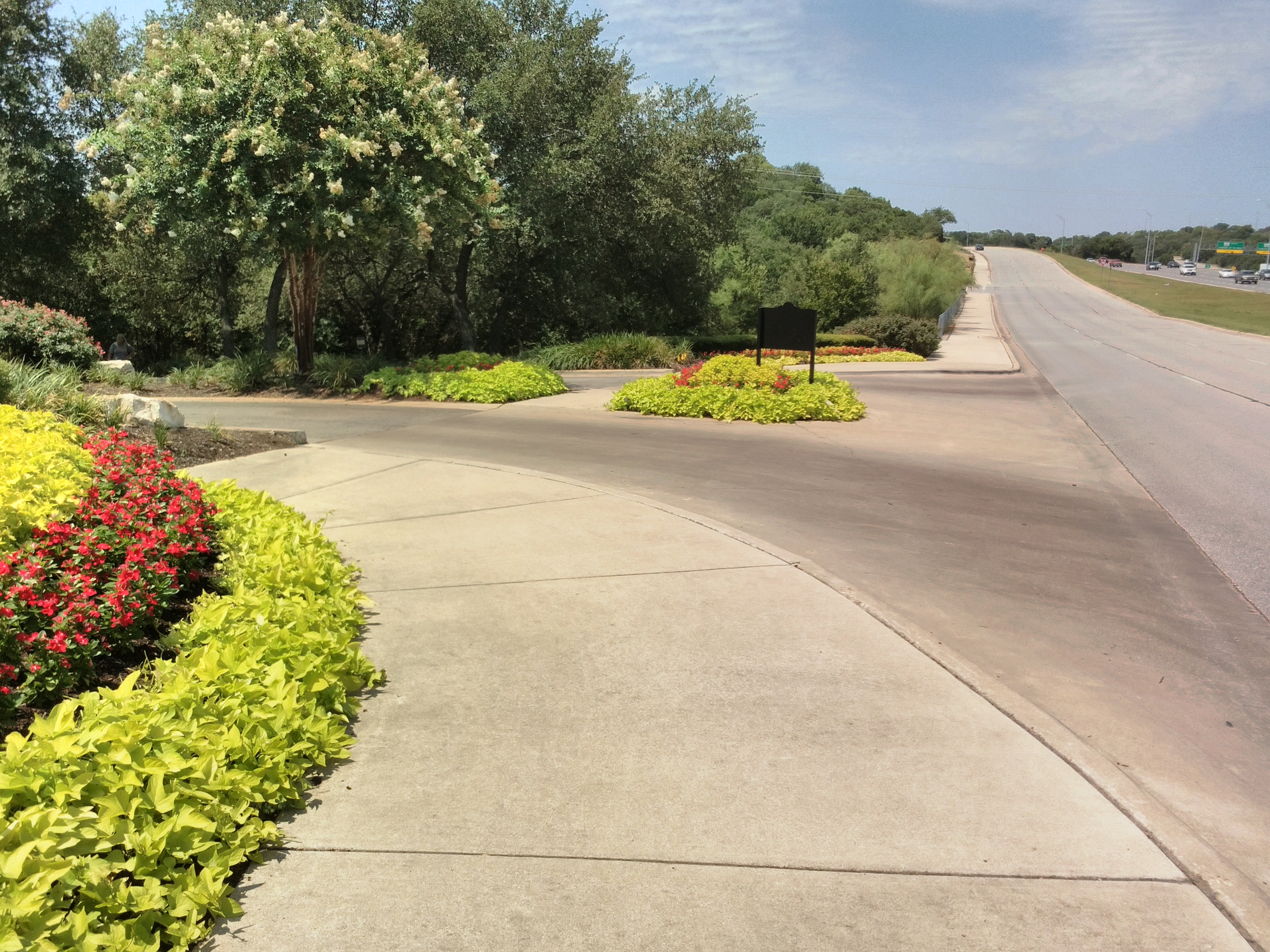
It has many annoying breaks for cross streets and driveways.
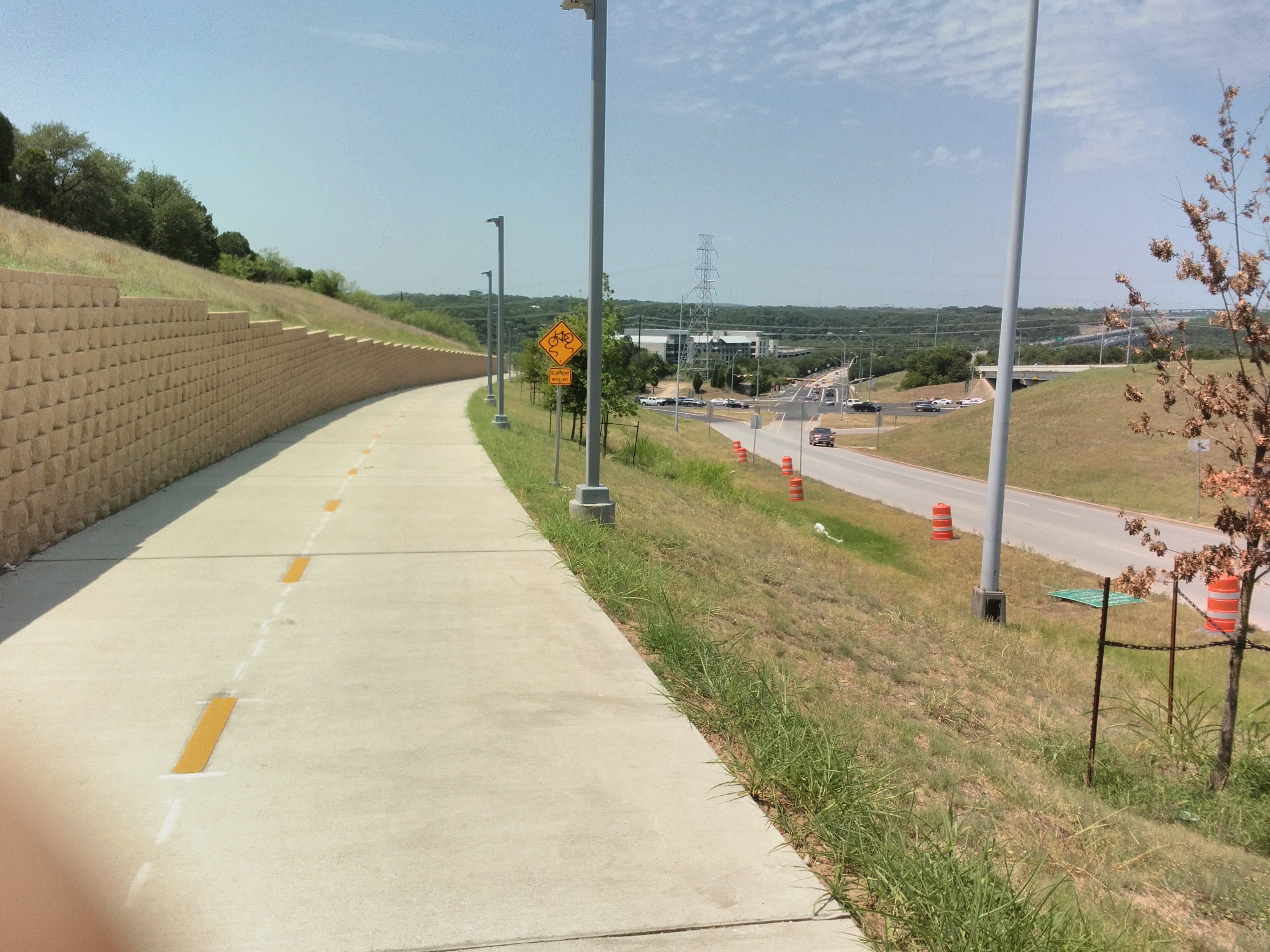
Descending the hill toward the Loop 360 interchange. This segment is very well-lit. (Sorry for covering the camera.)
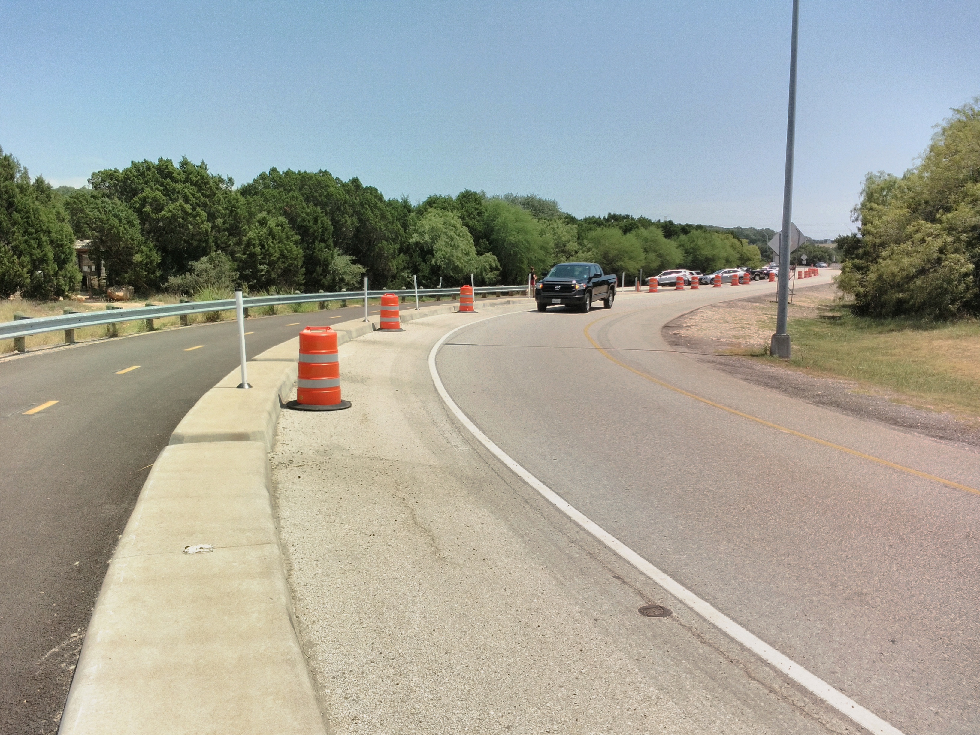
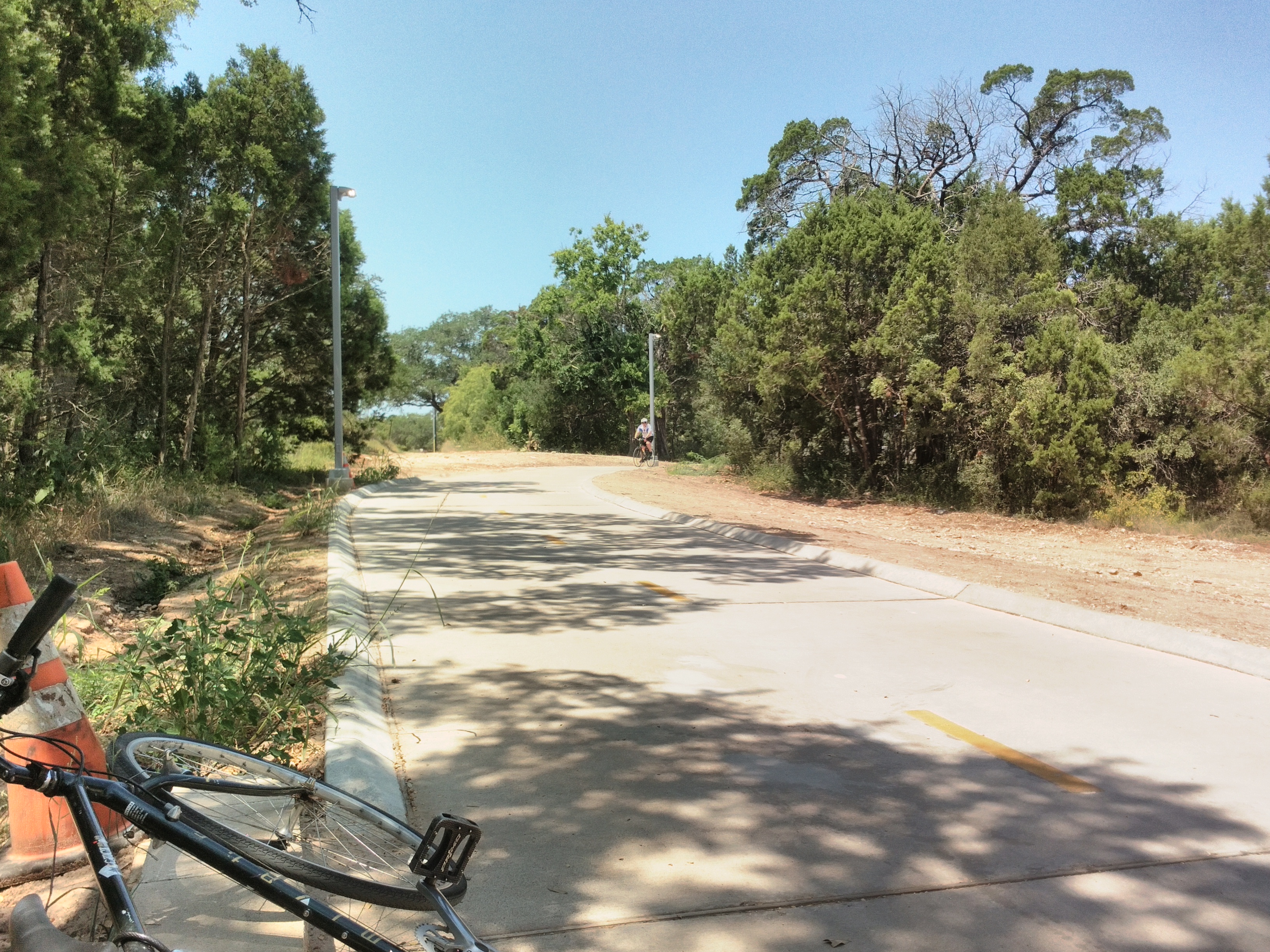
Proper cycle track between Loop 360 and Barton Creek.
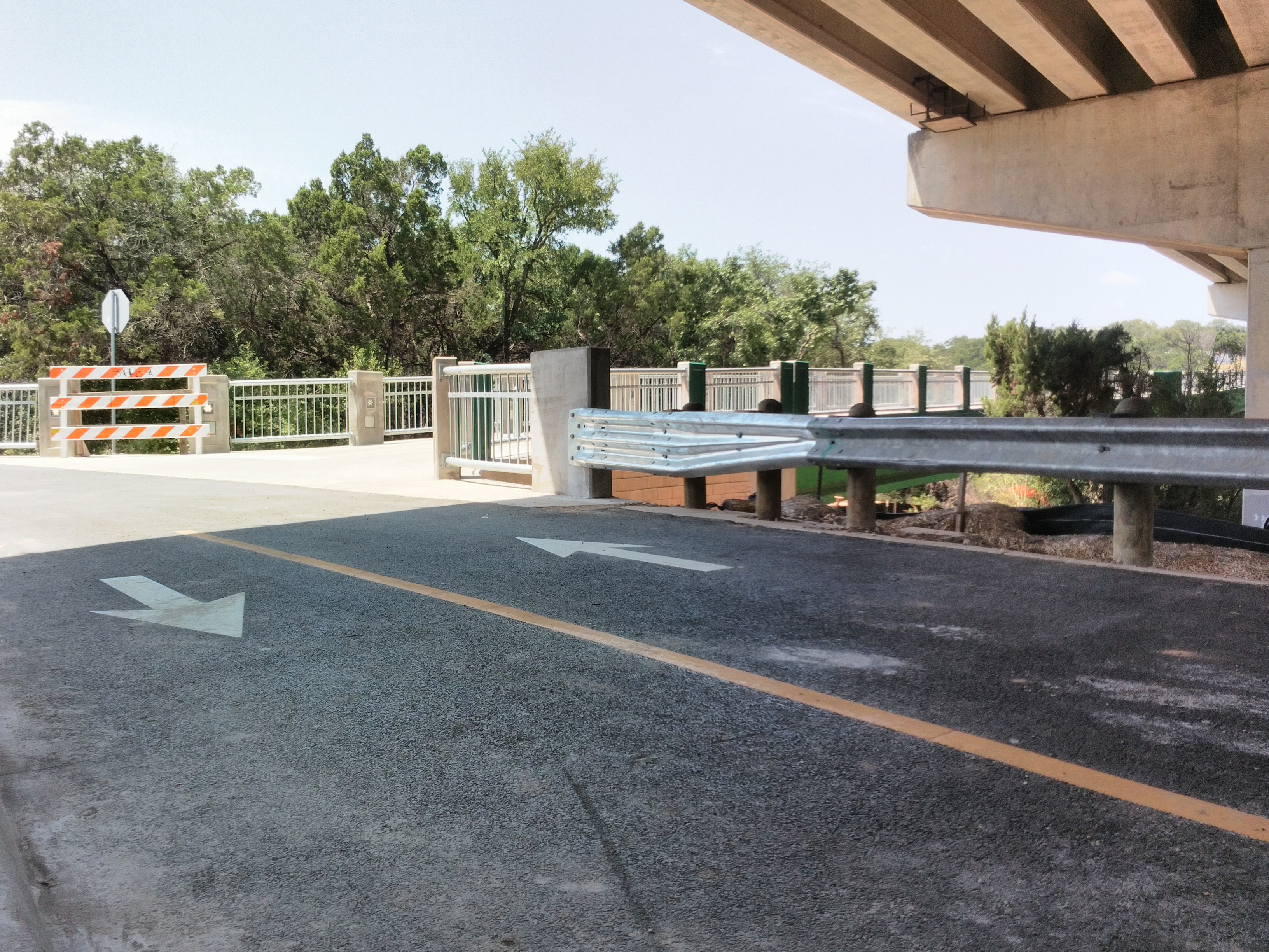
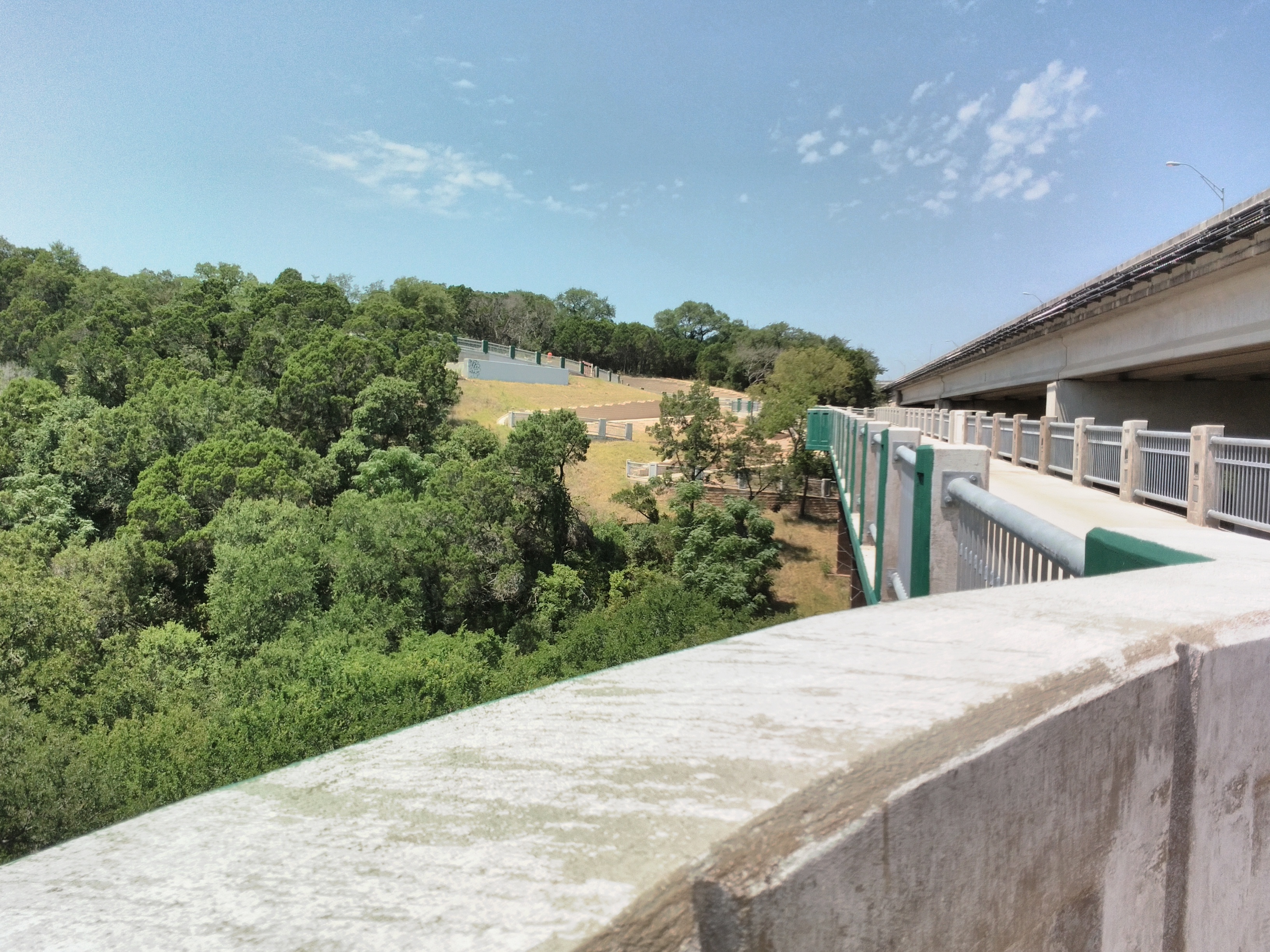
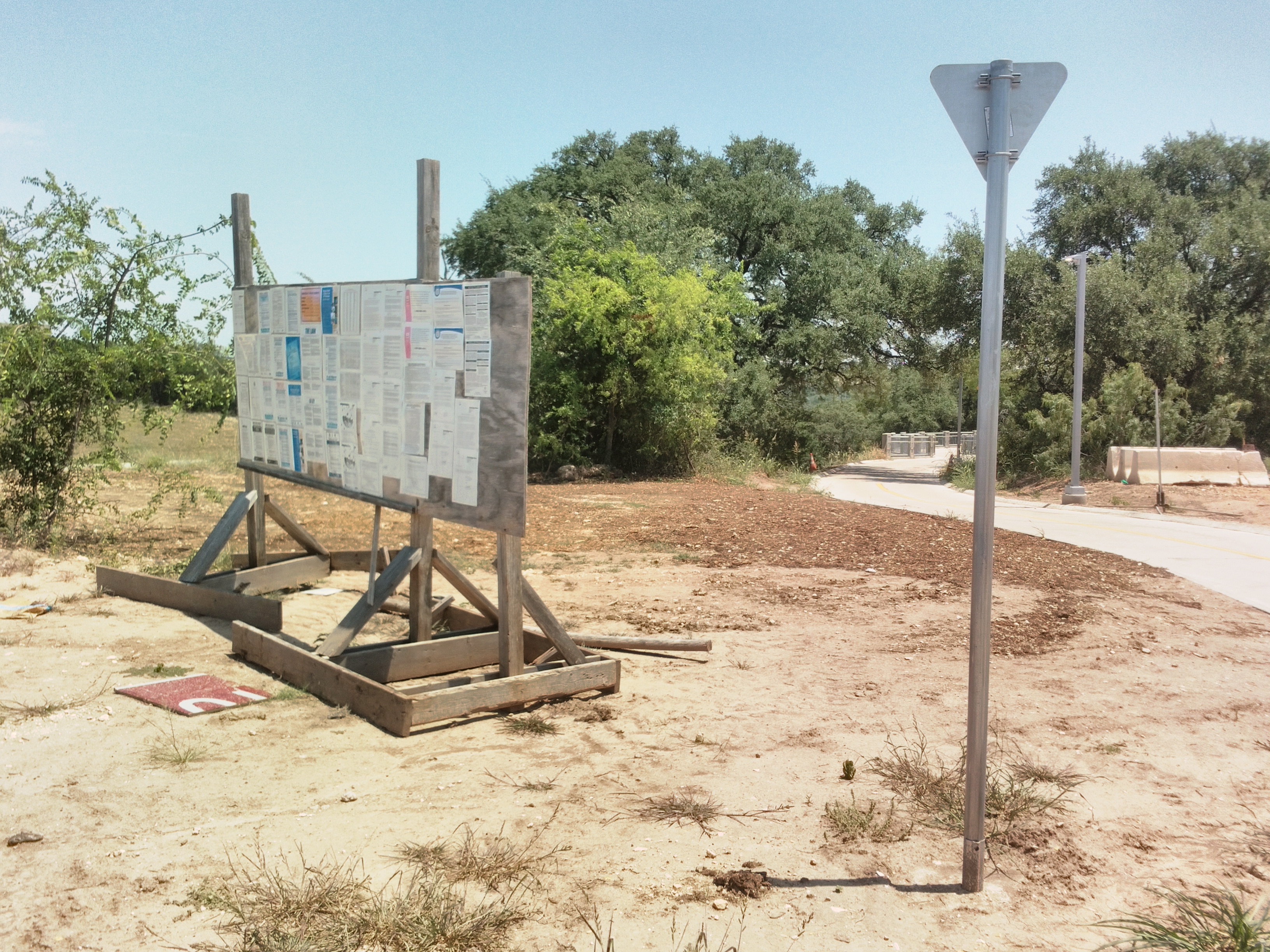
Northern side of the bridge. The cycle track branches off and loops under MoPac…
…to this makeshift parking lot. There’s also access to the Barton Creek Greenbelt here, which I saw many families using. Hardly anyone was going to the bike bridge.
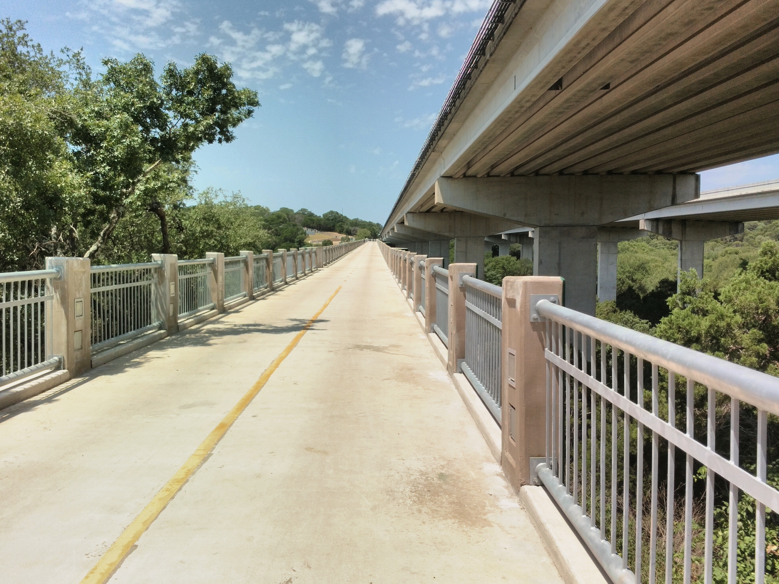
Looking south along the bridge.
More views.
View of the gentle ramps up the hill.
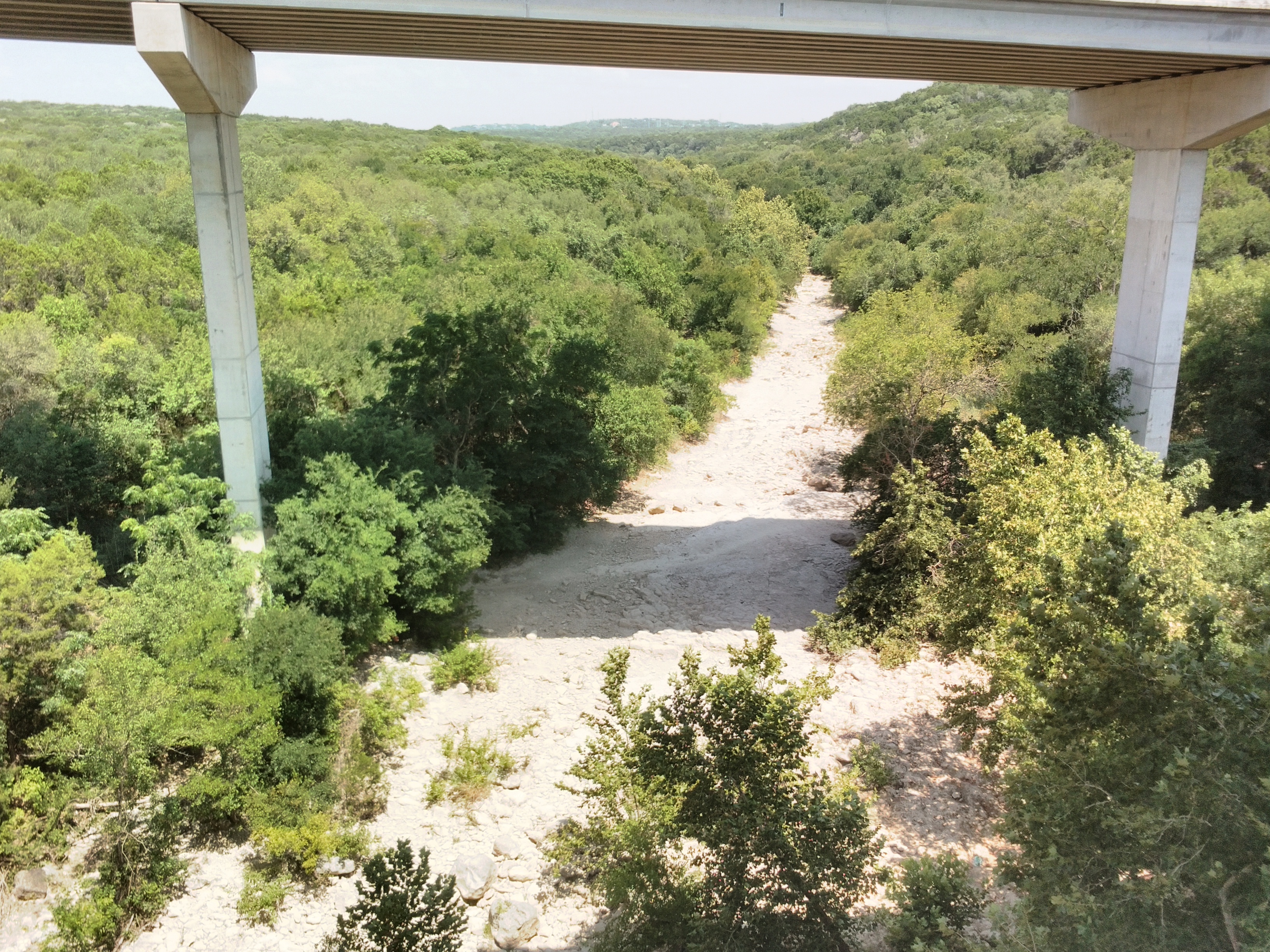
Barton Creek is dry at this time of year.
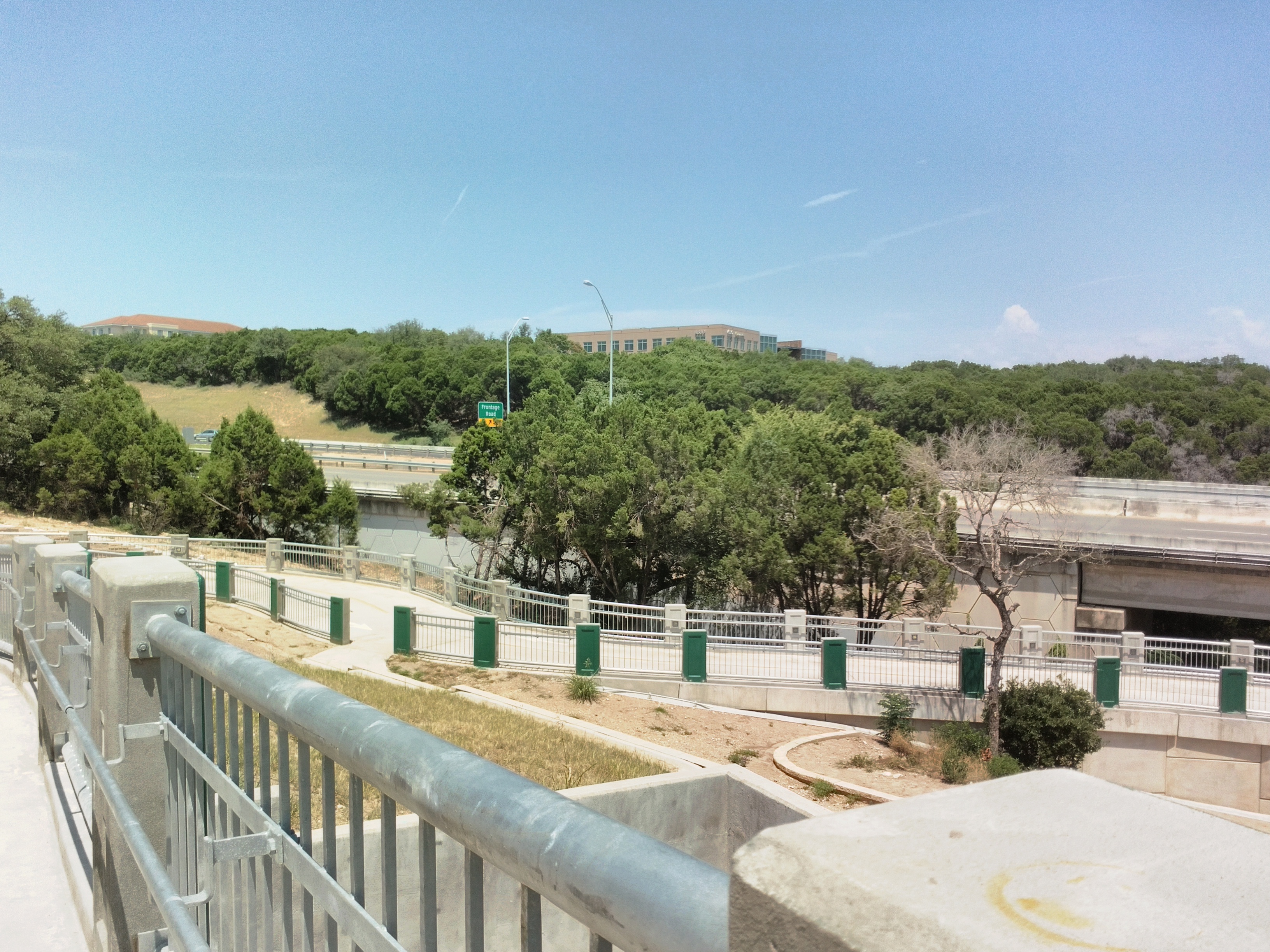
Looking toward Gaines Ranch, where this path ends. Just a few office buildings in suburban hell (which describes just about anywhere in Austin outside of the downtown core).
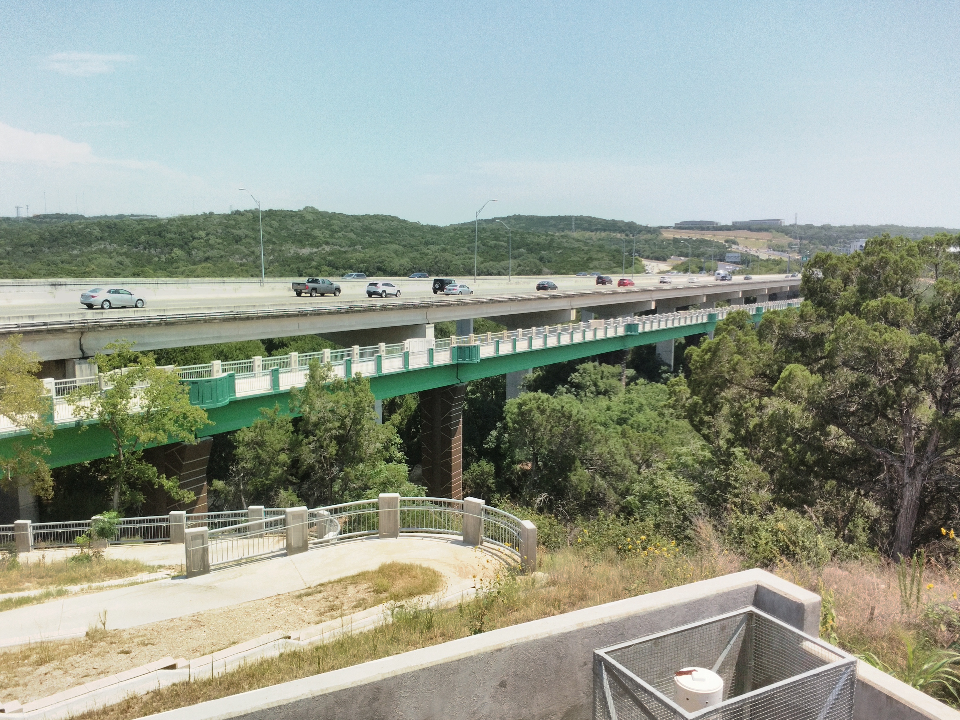
Overview of the entire bridge.
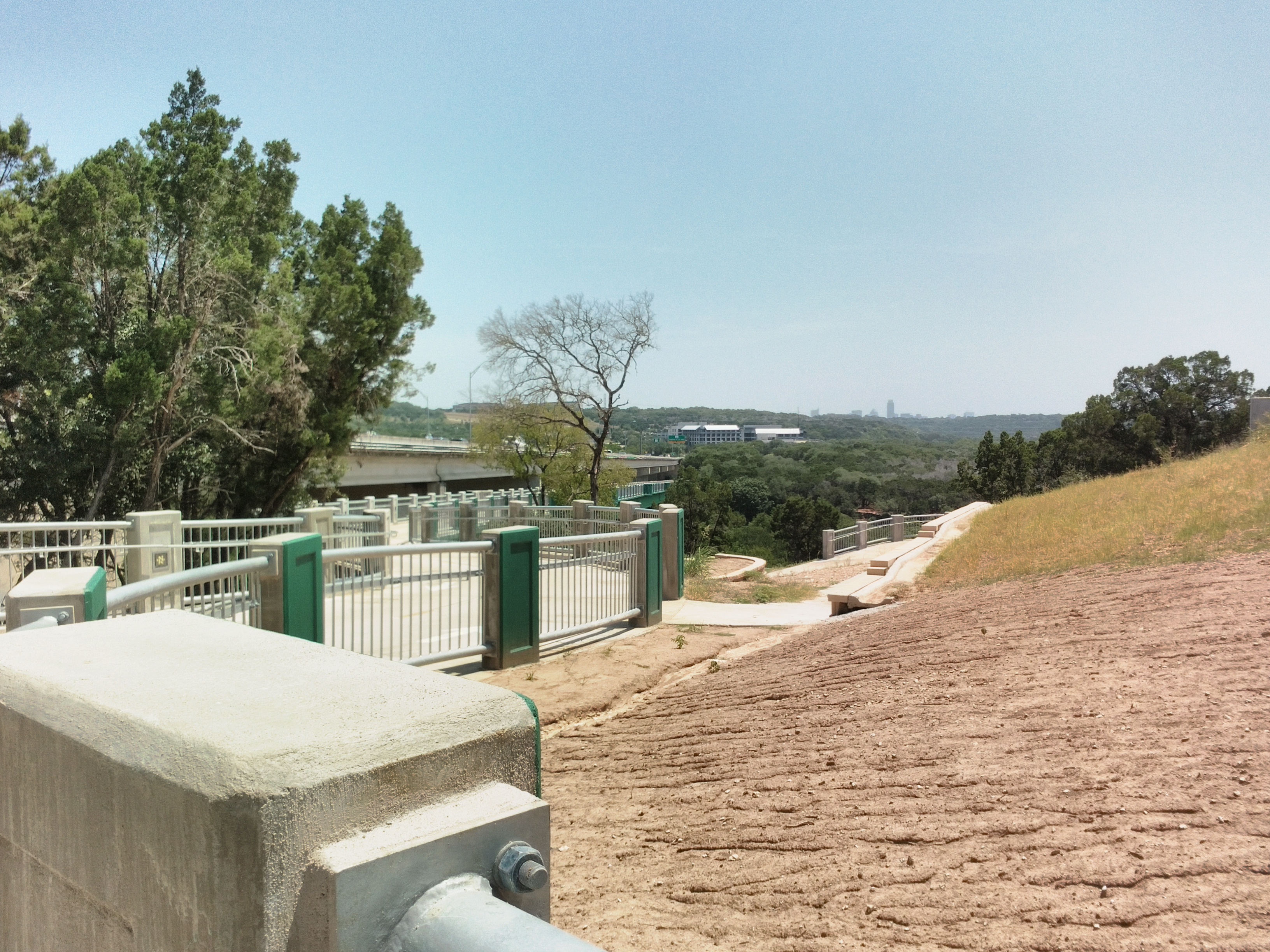
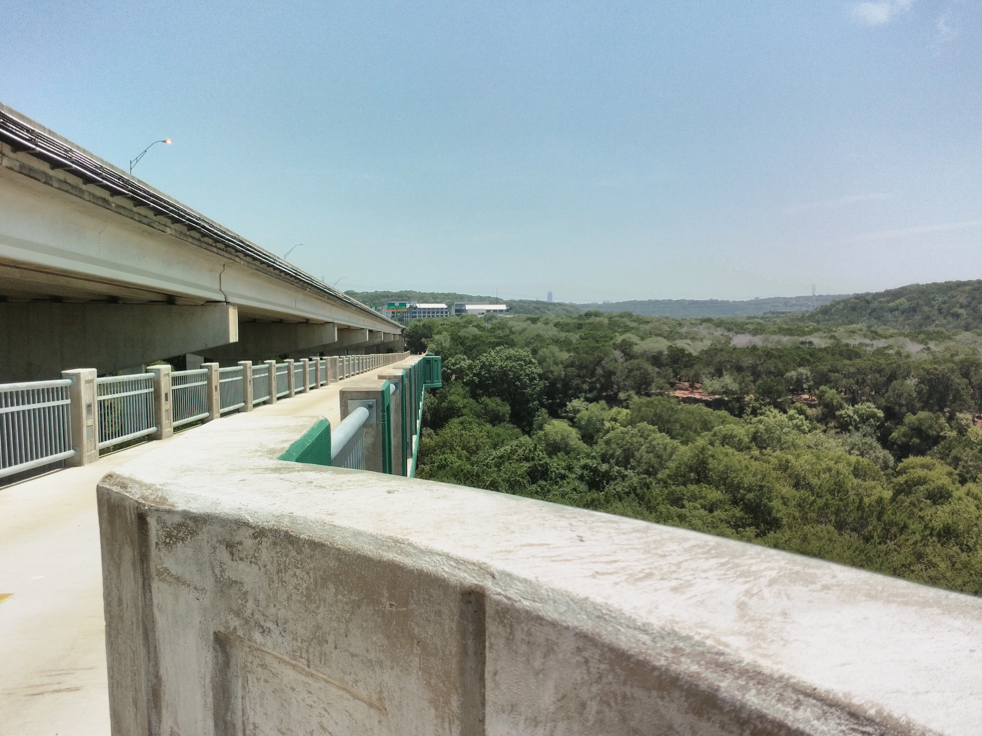
View toward downtown.
The cycle path climbs away from Barton Creek.
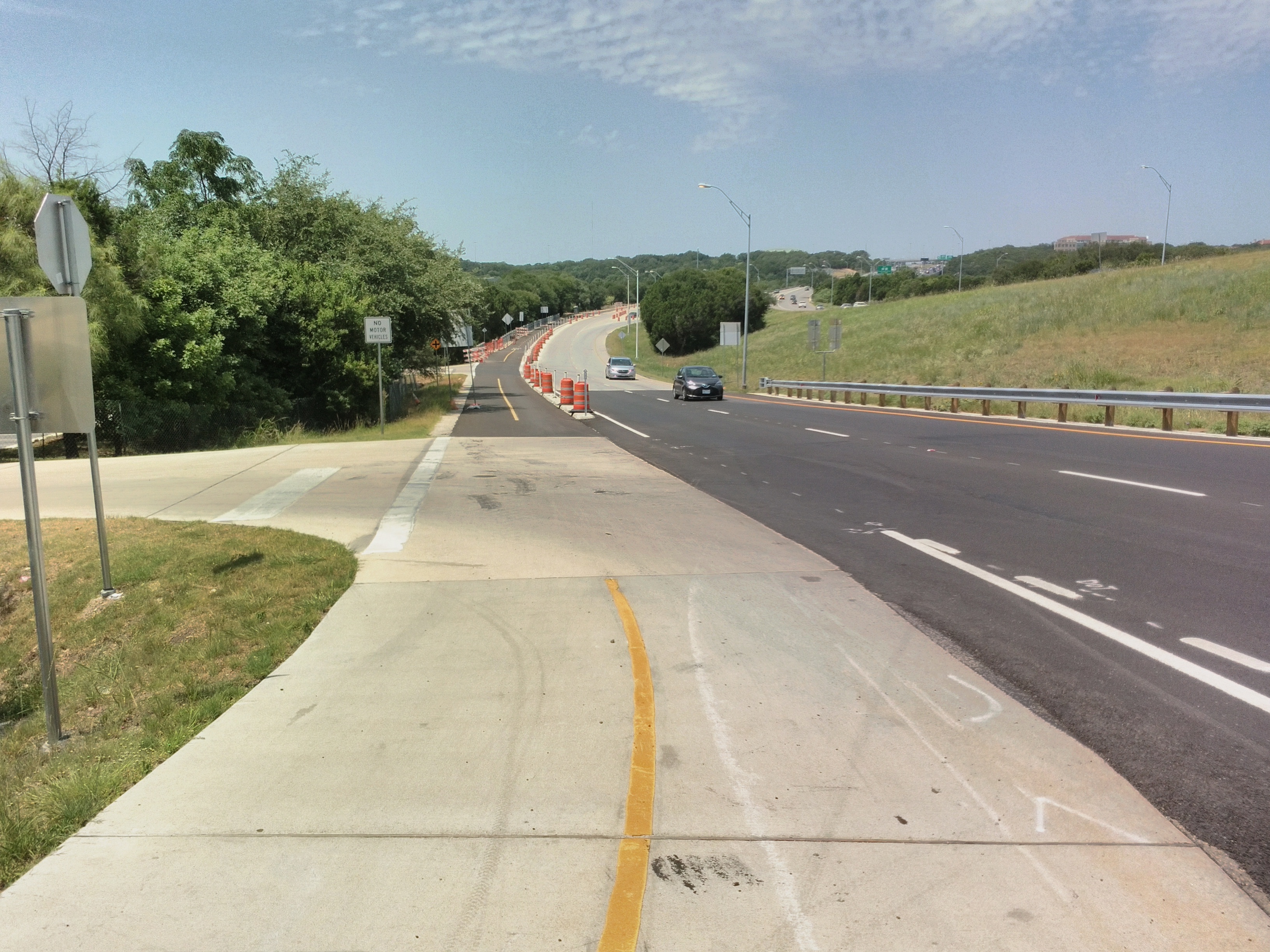
It ends at a T junction.
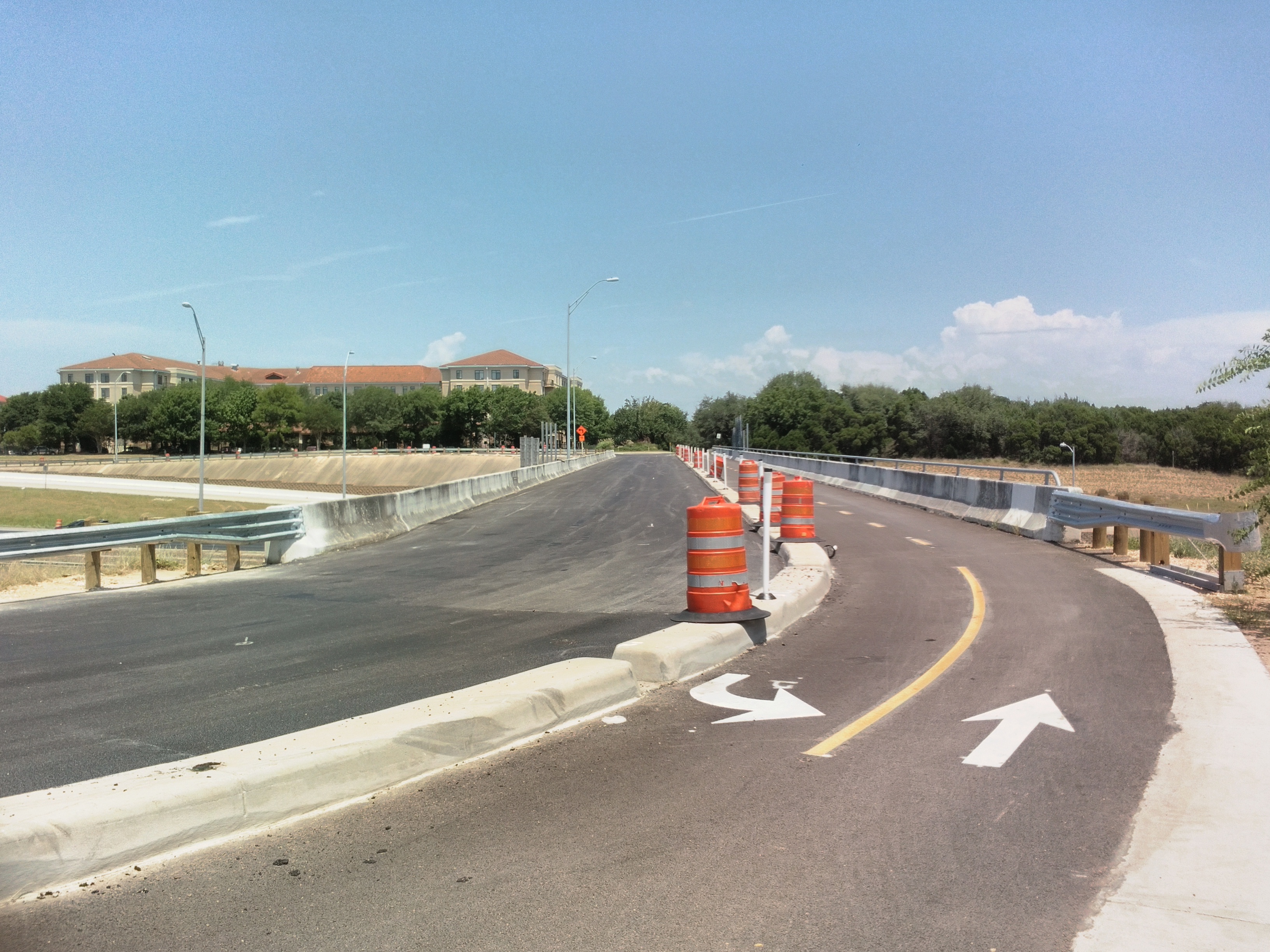
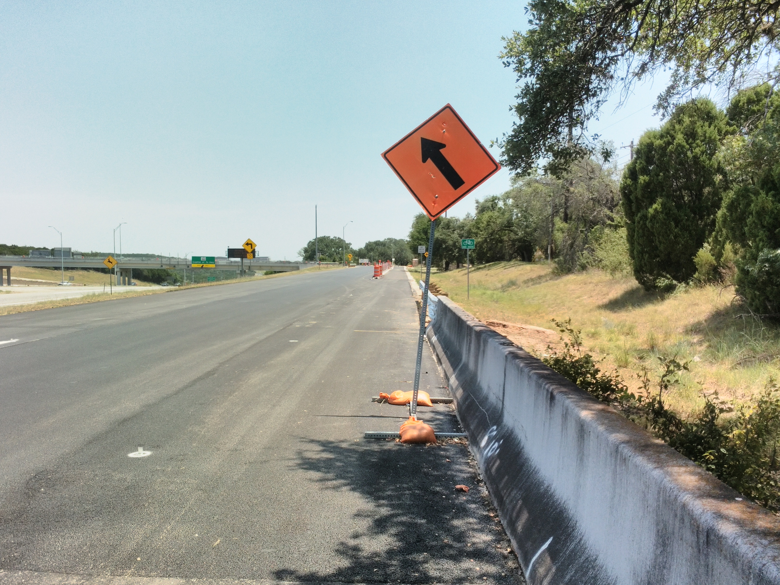
At the junction, the path splits and follows both of MoPac’s one-way frontage roads. This is the Texas turnaround for the southbound direction.
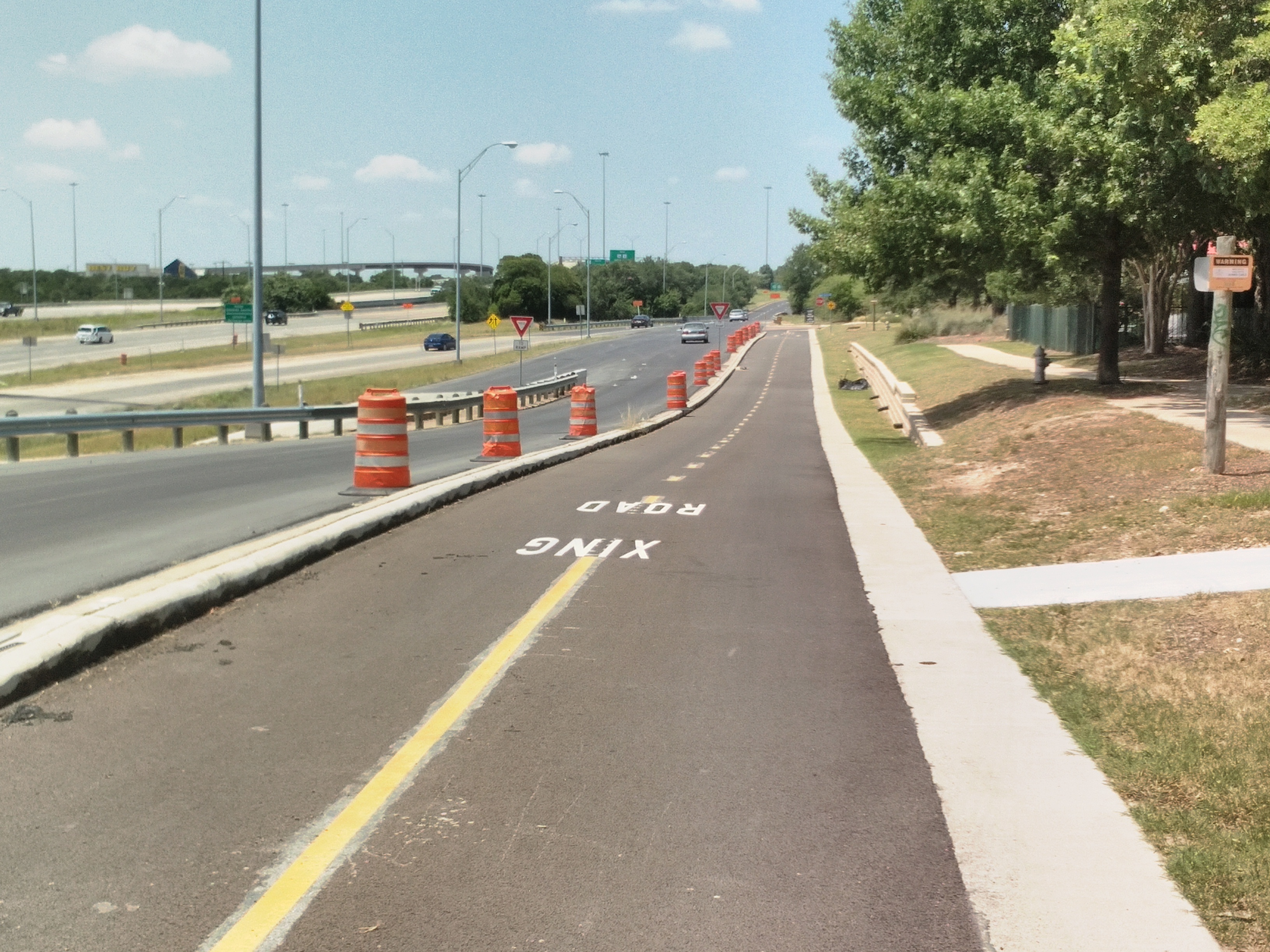
The southbound path running past the La Quinta Inn.
Here’s my problem with this path: it just sort of ends. There’s not even a bike lane on the frontage road. It gets even worse past the bridge, where the shoulder becomes a right-turn lane.
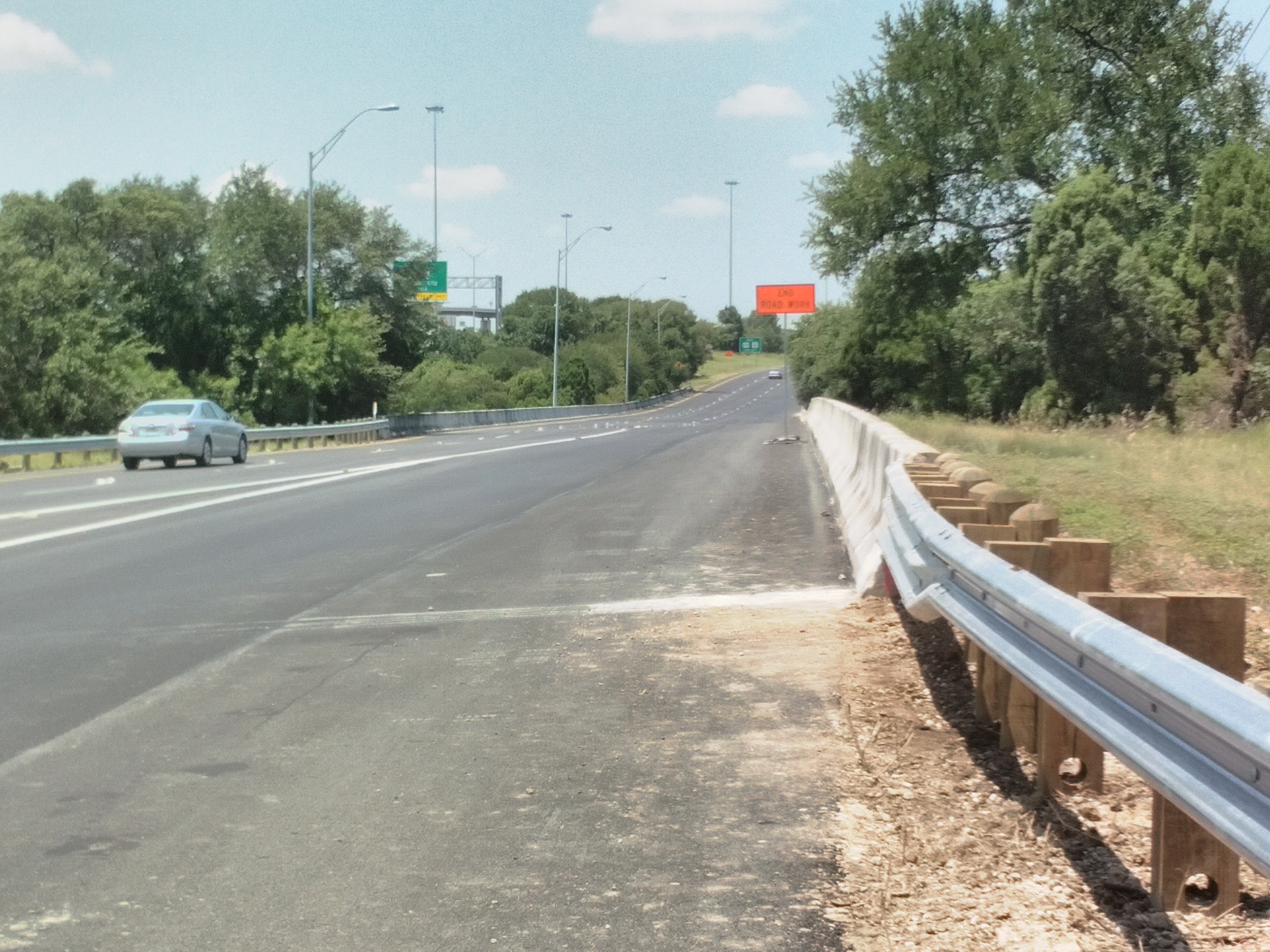
The northbound side doesn’t fare much better. It’s a one-way bike lane that also dead-ends.
I opted to wrong-way on the wide shoulder of the northbound side to leave Gaines Ranch and access the rest of South Austin. The only alternative was to mountain bike in the Barton Creek Greenbelt (or take my chances on the southbound frontage road).
The bridge has some really scenic views — that you wouldn’t see flying by at 70 or 25 mph on MoPac — but there’s no safe way across the frontage roads. That will be constructed as part of a different trail project. For now, you can’t actually reach the Southwest Parkway, despite media reports.
That makes the new bridge useless to the vast majority of potential cyclists who wouldn’t put up with that intimidating last mile. As nice as it is to ride (but would it kill them to put in some shade?), it’s looking a lot like Sarah Palin’s infamous “bridge to nowhere.”
Bonus: dirt sidewalk in Sunset Valley. Presumably, they can’t afford concrete. That’s ok, Austin can’t either.